Why Navigation Apps Sometimes Suggest Illegal Turns
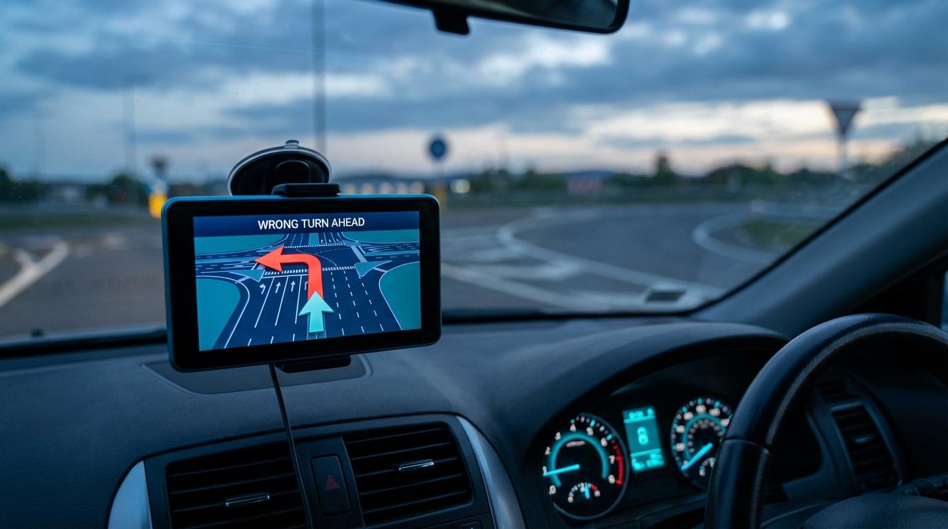
Navigation apps sometimes direct drivers into illegal turns because turn restriction data is incomplete, outdated, or missing from mapping databases entirely.
Group Navigation
Navigation apps sometimes direct drivers into illegal turns because turn restriction data is incomplete, outdated, or missing from mapping databases entirely.
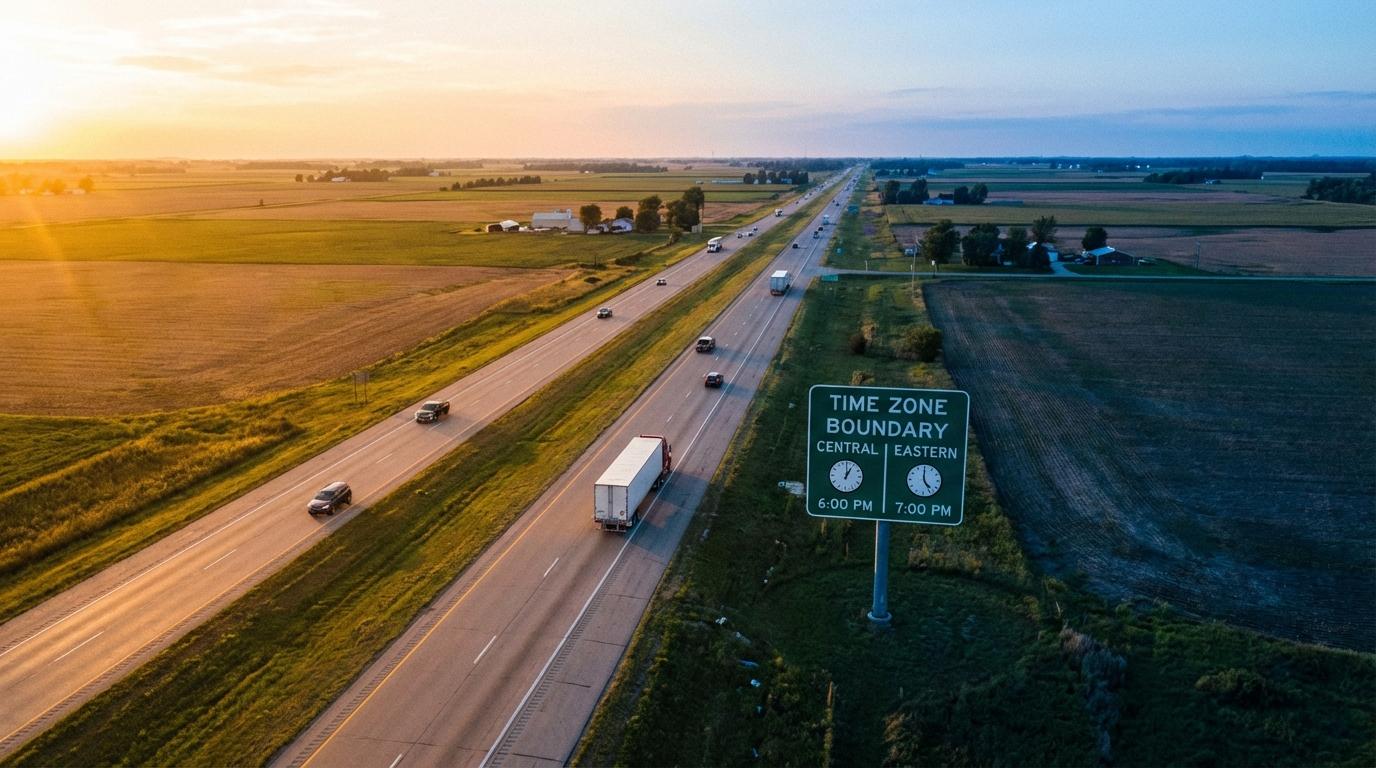
GPS satellites operate in universal time with no concept of time zones. Navigation apps handle zone crossings, date line jumps, and ETA calculations by keeping the math separate from the display.

GPS can be jammed, spoofed, or knocked out by solar storms. The sextant, running on starlight and geometry for three centuries, remains the backup that never needs batteries.
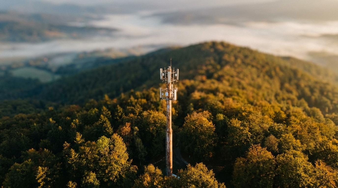
The FCC only requires wireless 911 location within 50 meters, and the dispatcher console is not seeing what your Maps app sees. Raj unpacks why, and what to keep on your phone before you need it.
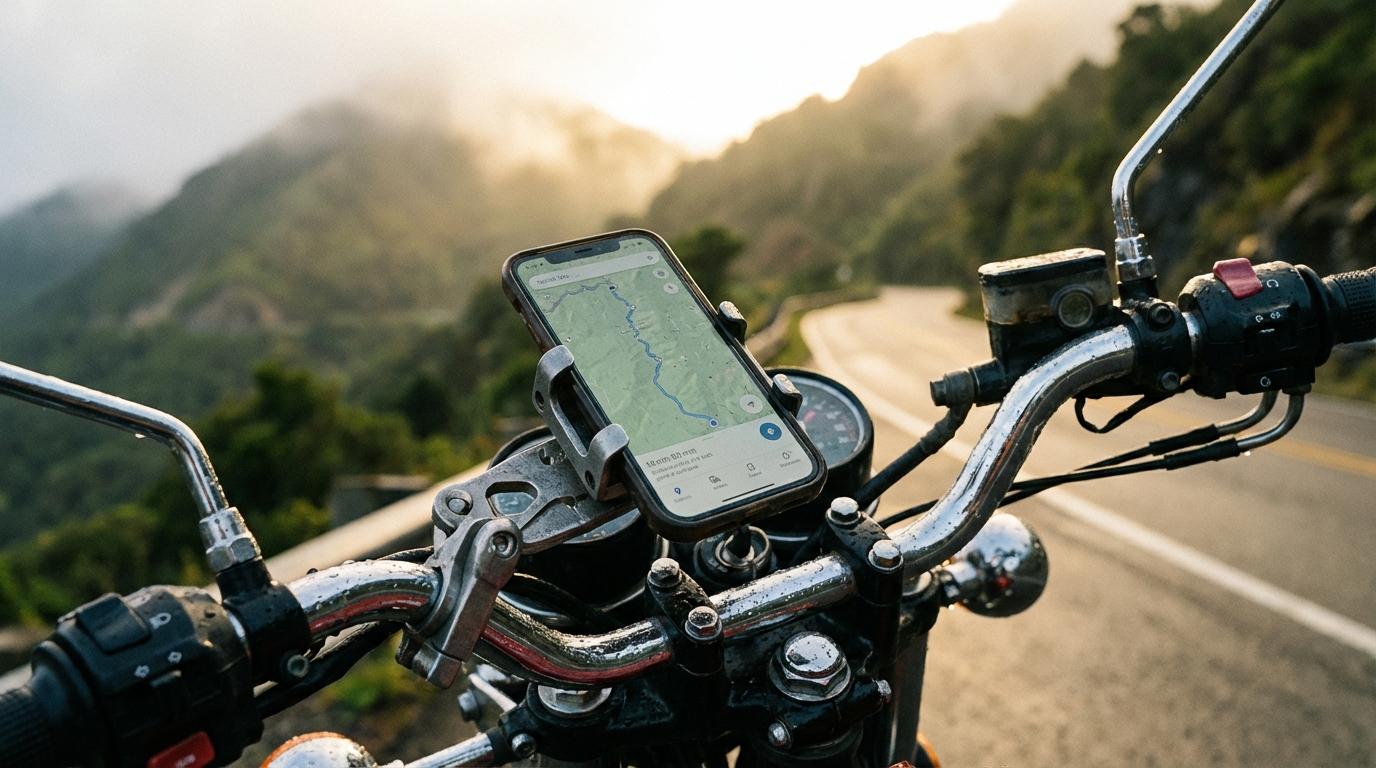
Car phone mounts destroy motorcycle-mounted phones through engine vibration, weather exposure, and unusable touchscreens. Proper motorcycle navigation requires vibration-dampened hardware, weatherproof enclosures, and audio-only routing.
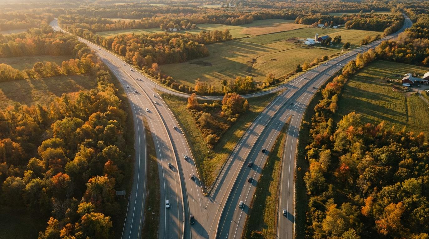
Five cars headed to the same wedding ended up on two different highways because each phone calculated its own route. Navigation apps optimize for one driver. They have no idea your convoy exists.
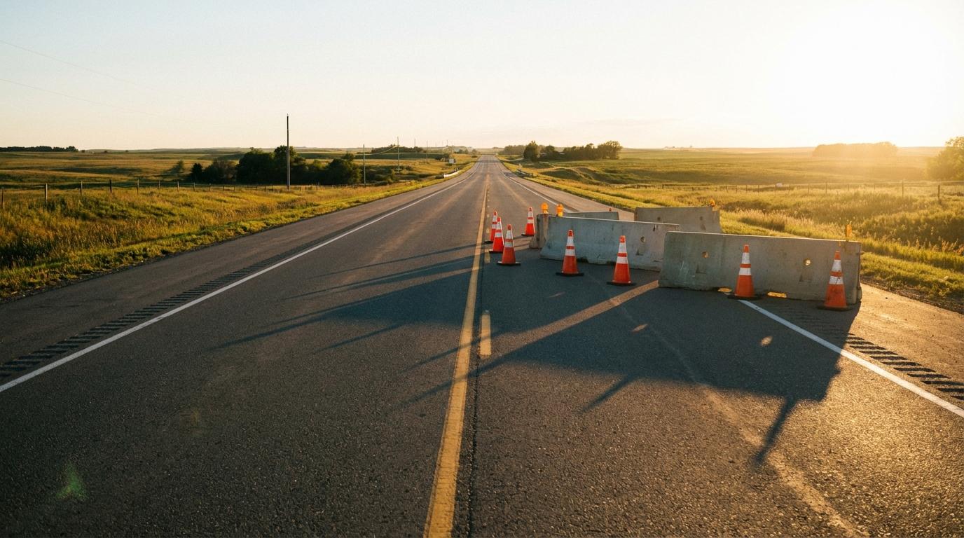
Navigation apps piece together construction data from municipal feeds, state DOTs, and crowdsourced reports, but gaps in every source mean some zones never show up on your screen.
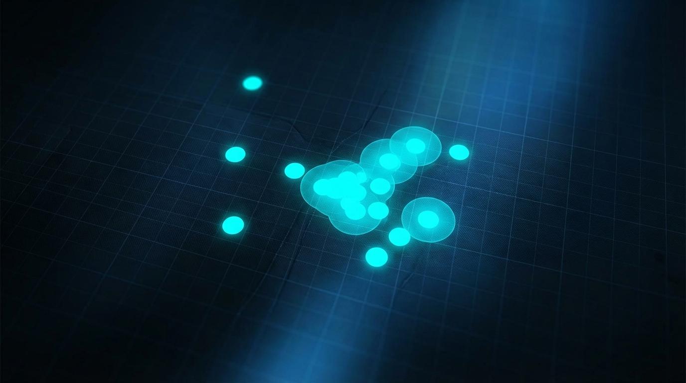
When you zoom out on a group map, markers collapse on top of each other and people seem to vanish. The fix is not smaller markers. It is adaptive rendering that changes how dots display based on zoom level.
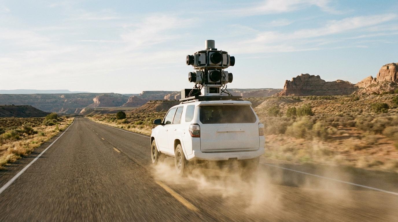
Over 4 billion GPS traces are logged daily by the 3 largest map providers. Road data comes from camera fleets, probe data from your phone, satellite imagery, government databases, and volunteer editors fixing the millions of errors that persist in every map.