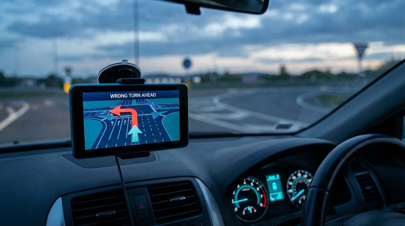
A no-left-turn sign that went up last month looks perfectly obvious from the driver’s seat and can be completely invisible to your navigation app. When the voice says “turn left in two hundred feet,” I now look at the actual intersection before I touch the turn signal, checking for a placard under the traffic light or a small white rectangle bolted to a pole, and my passengers have started sighing about it.
My trust in the blue line broke a few years ago, at a busy intersection during rush hour. The app wanted a left across three lanes of cross-traffic, and I was already drifting into the turn lane when I saw the sign. It had been mounted recently, right where you would expect a sign to be, and my app had no idea it existed. I would have taken that turn, and with traffic that heavy it would not have ended well.
Afterward I spent an embarrassing number of evenings reading about how navigation apps decide which turns are legal, and the answer is messier than most people assume.
The app isn’t looking at the road
Your navigation app does not read road signs while you drive. It consults a database, and the route it hands you is only as legal as the restriction data stored there for each junction you pass through. When it calculates a route, it searches for the cheapest path through that data and skips any move the data marks as forbidden, which works perfectly right up until the data is wrong.
The way turn restrictions are stored is the part I find genuinely interesting, because it explains why they break so easily. Inside a routing engine, the road network is a graph: intersections are nodes, road segments are edges, and the engine walks from edge to edge looking for the lowest total cost. One-way streets are easy to model, since you just mark the edge as traversable in one direction. A turn restriction can’t live on a single edge, though, because “no left turn” is only true for a specific pair of roads meeting at a specific point. OpenStreetMap, for example, stores it as a separate relation with three parts (a “from” segment, a “via” point and a “to” segment), and the router has to check every transition against those relations. If a city repaves a corner and someone redraws the road geometry, the relation can quietly point at segments that no longer exist, and the restriction simply stops applying.
That fragility sits on top of a timing problem. A traffic engineer can decide on a Monday that an intersection needs a no-left-turn sign and have it installed by Wednesday, and the change may not show up in any mapping database for weeks or months.
Where the data comes from
Map providers like Google, Apple, TomTom and HERE assemble their road data from a patchwork of sources, and knowing how map providers actually collect road data makes the gaps easier to understand. Satellite imagery shows lane markings and road shapes, though it can’t read a twelve-inch sign on a pole. Camera cars capture far more street-level detail but only pass most intersections occasionally. Government records should be the most reliable source. Cities update their digital records on wildly inconsistent timelines, though, and while some keep a searchable inventory of every sign they own, others still log changes in paper binders at the public works office.
Accuracy ends up varying block by block, so a downtown corridor that gets surveyed regularly can have solid data while a suburban intersection three miles away, where a new shopping center changed the traffic flow last spring, is still running on an old picture. You can’t tell which kind of intersection you’re approaching by looking at the screen, because the app draws both with the same confidence.
Restrictions with conditions attached
Permanent restrictions are hard enough to keep current, and time-based ones near schools are worse, because “no left turn during morning drop-off” needs time windows and day-of-week rules, which many data sources record poorly or not at all. An app can correctly know that a turn is legal on a Saturday afternoon and still have no idea that a farmers’ market closes the street every Saturday in summer. Short-lived closures for road work rarely make it into the base map in time to matter.
Then there are restrictions that depend on what you drive. A sign saying “no trucks over five tons” doesn’t affect a sedan, but if the weight limit is missing or tagged wrong, a delivery driver following GPS directions can end up on a residential street or a small bridge that was never meant for him.
Why fixes take so long
Most map providers lean heavily on reports from drivers, and it works better than you might expect. Google Maps and Apple Maps both have “report a problem” tools, while OpenStreetMap relies on volunteers who survey their own neighborhoods and edit restrictions by hand. I reported my rush-hour intersection that same evening, from my couch, and for a good while afterward the app kept cheerfully offering me the same left turn every time I drove that way.
A submitted correction still doesn’t go straight into the live map. It goes into a review queue, and depending on the provider and the kind of change, it can sit there for a few days or several weeks. A major intersection in a well-mapped city might get fixed quickly, while a rural road with nobody else reporting the same thing can wait much longer. Providers are cautious on purpose, since one bad report shouldn’t reroute millions of drivers, but the same caution slows down the correct reports too.
When several cars follow the same route
Group drives add a wrinkle. The lead driver spots the sign and goes straight, and the second car, a few seconds back, either wonders why or doesn’t notice and makes the turn because its own app still says to. In practice the fix is a passenger, not the driver: someone in the lead car can call ahead or send a quick alert, the kind of notification that’s actually worth getting while driving, so the people behind hear about the sign before they reach it. If your group shares live locations on one map, a passenger in the following car can also see the lead car’s dot carry on straight and tell their driver to stay put.
What to do when the screen and the sign disagree
Follow the sign. The app is making a suggestion from data that may be out of date, and “my GPS told me to” won’t get you out of a ticket.
Then report it, once you’re parked or from the passenger seat. Note which direction you were coming from and which turn was blocked, because “wrong turn restriction” with no direction is hard for a reviewer to act on. A report from someone who stood at the intersection and saw the sign is worth more than another satellite pass, and every major mapping platform takes them. If it’s a route you drive every week and the instruction is still wrong a month later, report it again.