The brass felt warm from the sun when the sailing instructor pressed the sextant into my hands somewhere off the coast of Maine. It was heavier than I expected, and the mirrors kept catching light and throwing it sideways while the boat rolled under me and the auxiliary engine coughed diesel over the stern. She told me to find the horizon, bring the sun down until its lower edge just touched it, and read the angle off the arc. I fumbled with the index arm for a good while, worked through the tables with her looking over my shoulder, and produced a position on dry land in southern New Brunswick. We were about forty nautical miles out to sea.
That was years ago, and I still think about it every time I open a navigation app and watch a blue dot slide along a coastline. The sextant asked me to work out where I was from first principles, and I got it badly wrong, and I learned more about latitude from that one mistake than from years of staring at screens.
What surprised me afterward was finding out how many people still use one. Offshore cruisers and naval training ships still pull them out of their cases and take sights, and not as a party trick.
One angle, one circle
A sextant measures a single thing: the angle between a celestial body and the visible horizon. It does not tell you where you are (this is the part most people get wrong about it, me included at the time). That angle, paired with the exact time and the Nautical Almanac, tells you that you are somewhere on a circle drawn across the surface of the Earth, every point of which would see that star at exactly that height at that moment. Those circles are enormous, so on a chart you only ever draw the tiny piece of one near your rough position, and it looks like a straight line, which is why navigators call it a line of position. Take a sight on a second star and you get a second line crossing the first. A third sight almost never passes through the same crossing point, because small errors creep into the timing and into your idea of where the horizon really is, so you end up with a little triangle that old navigators called a cocked hat. You sit in the middle of it and accept that your position is a smear on the chart rather than a point.
I find that more truthful than GPS, which has error too but hides it behind one confident blue circle.
The math underneath is spherical trigonometry, which sounds frightening until you watch someone grind through it with a pencil and a book of printed tables. For every hour of the year, the almanac lists the predicted positions of the sun, the moon, the navigational planets and a set of bright stars, and sight reduction tables do most of the heavy lifting from there. Once you have practiced, going from the sight to a plotted fix takes something like fifteen minutes. A good observer on a steady deck can land within a couple of nautical miles, and that is enough to cross an ocean and find the island you were aiming for.
Why satellites aren’t the whole answer
GPS feels permanent, but it is infrastructure built and maintained by people, and the signal that reaches your receiver from orbit is extremely faint by the time it arrives. A weak signal is easy to drown out. Cheap jammers sold online, often bought by truck drivers trying to dodge their employer’s tracking, have knocked out GPS reception around highways and even near airports. Spoofing is the nastier problem, because instead of erasing your position it hands you a false one, and your screen looks perfectly normal while it does it.
Ships in the Black Sea have reported their GPS putting them inland at an airport. Military planners assume satellite navigation will be attacked early in any conflict, and that assumption is why celestial navigation never fully left naval training. The U.S. Naval Academy dropped it from the required curriculum in the mid-2000s and brought it back about a decade later, citing worries about cyberattacks on satellite systems. A sextant has nothing to jam. It needs a horizon you can see and someone who understands how an angle relates to the curve of the Earth.
I once asked a retired naval navigator why he still kept his sextant oiled and adjusted in a case by his bookshelf, years after he left the service. He said, “Because the stars don’t need a software update.” He seemed slightly annoyed that I had asked.
Brass in a felt-lined box
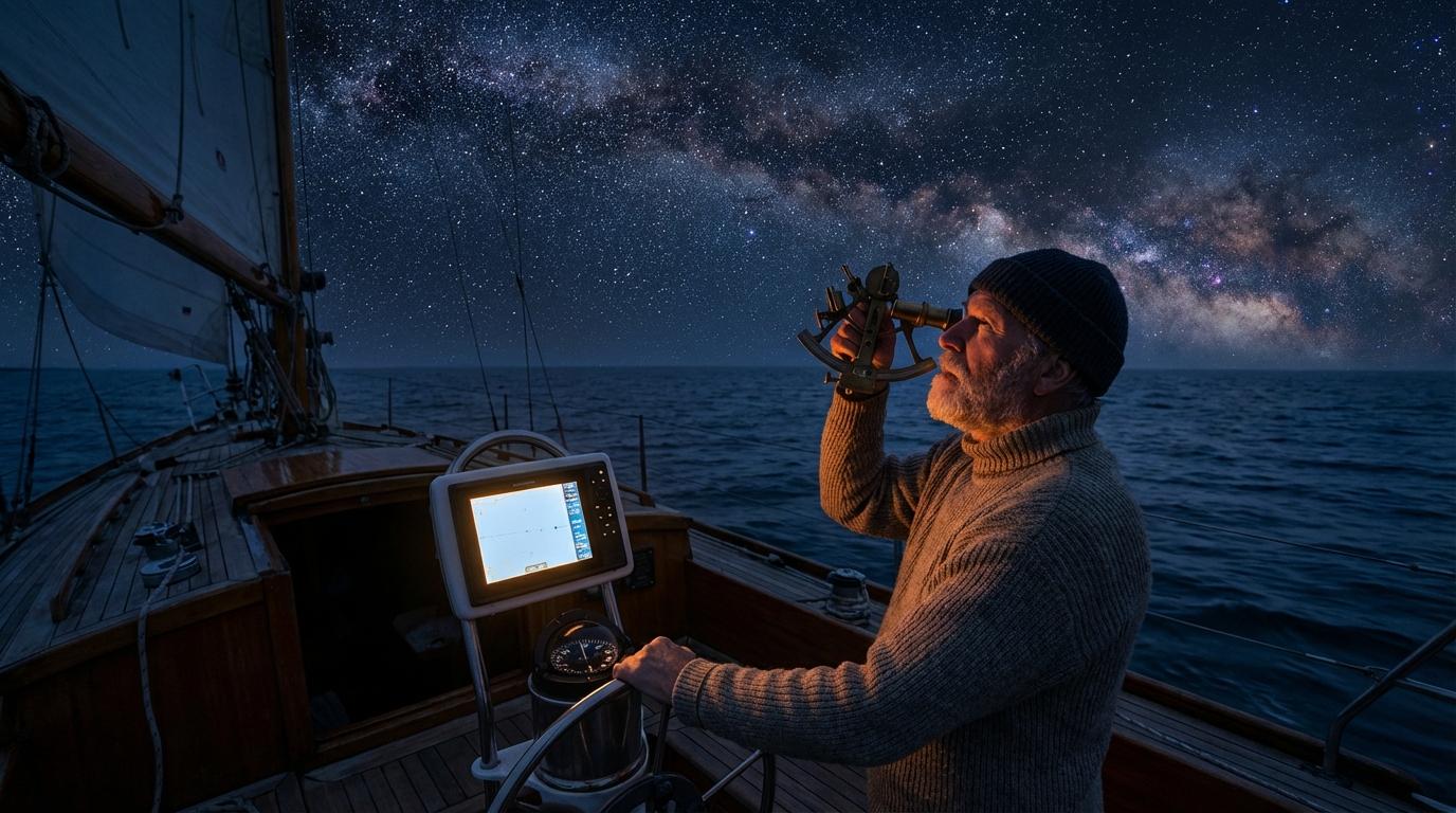
Offshore sailors carry backups for their backups, so a bluewater cruiser usually has a chartplotter at the helm and a handheld GPS stowed somewhere dry, and then, wrapped in felt inside a wooden case, the sextant. Saltwater gets into connectors, and a lightning strike can take out most of the electronics on a boat at once. Out in the middle of an ocean nobody is coming to fix any of that, so the one instrument with no wiring in it earns its locker space.
I have talked with sailors who crossed the Pacific on celestial sights alone and made landfall on atolls that sit barely above the waterline. Most of them weren’t trying to prove anything. They had practiced the method on easier passages until they trusted it enough to approach a reef pass in the dark before dawn.
Most offshore sailors will go their whole lives without needing the sextant, because the GPS works for the entire passage, every passage. The few I have heard from who did need it mostly found out after a lightning strike, with no warning beforehand.
Analog and digital on the same chart
Modern navigation adds the old methods to the new ones rather than replacing them. Some electronic chart systems include celestial calculators, so you take the sight with the sextant, type in the altitude and the exact time, and the software does the trigonometry and plots your line of position straight onto the digital chart. You still need skill and a clean horizon to take the sight, but the pencil work disappears.
Good navigators cross-check everything, like the bearing of a lighthouse against the chartplotter, or the depth sounder against the contours printed on the chart. Charts and digital maps are only as good as the way their data was collected in the first place, and a navigator who has found a rock where the chart shows open water learns to keep a little doubt in reserve. Drivers run into a milder version of the single-source problem all the time. A navigation app plans a route for one car, and it doesn’t know about the other cars in your group, so it will happily send each of them down a different highway.
Still learning
I can take a passable sun sight on a calm day now and get a fix that wouldn’t embarrass me in front of a patient instructor, but star sights at twilight are another matter. You only get a short window when the stars are bright enough to find and the horizon is still sharp enough to bring them down to. My index mirror fogs up. Last time I lost Vega behind a cloud and switched to Arcturus, and by the time I had a reading the horizon had gone soft and gray and the window was over, and I stood on deck in the dark feeling outclassed by teenage midshipmen who did this every evening in the age of sail.
The sextant outlived radio direction finding and LORAN, and it is outlasting GPS so far. Every electronic system sailors have relied on has had outages or been jammed at some point, and each time someone wrote off celestial navigation, sailors kept a sextant in the locker anyway.
I still have the page from that first afternoon off Maine, with my pencil fix sitting on dry land in New Brunswick and the instructor’s neat little circle out at sea where we actually were. My sights land a lot closer to the water these days, though I keep that page in the sextant case, folded under the felt.