The FCC asks wireless carriers to place most 911 callers within 50 meters horizontally, and that one rule explains a lot about why emergency dispatchers can’t fully trust the coordinates your phone thinks it is sending them. Fifty meters is about half a football field of uncertainty around someone who might be hurt and unable to describe where they are. It is also a limit that only has to hold for most calls, so the remaining ones are allowed to come in worse without the carrier breaking any rule. I used to assume this was an old standard that had been quietly fixed years ago, mostly because the blue dot on my own map app looks so precise whenever I check it.
That blue dot is accurate for a reason that has very little to do with 911. The position on a modern phone comes out of a pipeline that blends raw satellite signals, Wi-Fi access point fingerprints, cell timing, barometric pressure and motion data from the accelerometer and gyroscope, and the phone keeps that pipeline running in the background whether you are navigating somewhere or just checking the weather. A dispatcher on an emergency call may not be connected to any of it. Depending on the software their center runs, they could be looking at something much rougher than what your own screen shows.
For a gentler primer on finding places that have no usable address, the piece on navigating to a lake house with no street address covers the everyday side of this. What follows is the emergency side, which is messier.
What actually happens when you dial 911
When you place a wireless 911 call, your phone connects through a nearby cell tower and the call gets routed to a Public Safety Answering Point, or PSAP, which is the formal name for an emergency dispatch center. The center then gets your location through a framework called Enhanced 911, which the FCC started rolling out in phases in the late 1990s. Phase I delivered only the tower and sector your phone was using, plus a callback number. The second phase is supposed to deliver a latitude and longitude accurate enough to actually find a person, and most of this article is about the distance between “supposed to” and what shows up on the dispatcher’s screen.
Why the dispatcher screen is not your map screen
This part surprised me when I finally read how the system is put together. Your phone usually knows where it is within a few meters under open sky, because its satellite receiver has been pulling fixes for as long as the phone has been awake. For most of E911’s history, though, the dispatcher didn’t get that number. The carrier calculated your position from its own network, timing your signal against its towers, and passed that result along instead of asking the handset what it already knew.
The newer approach has the phone report its own fused location. Google’s Android Emergency Location Service and Apple’s Hybridized Emergency Location both do this, sending the handset’s position when a 911 call starts, often over a data channel that runs alongside the voice call rather than through the old carrier path. Whether a given dispatcher actually sees that position depends on the carrier and on the equipment at that particular center, and the location data also has to survive the trip from a modern voice-over-LTE call into older 911 systems that were built around landlines.
A couple of years ago a friend asked me whether she should worry about her phone’s GPS if she ever had to call 911 on a hike. I told her it was fine, that smartphones were basically as good as the military receivers of a few decades ago and she’d show up on the dispatcher’s map the moment she dialed. A few months later I was reading about calls where the handset had a good fix and the dispatcher still got only a rough network estimate, because the center wasn’t set up to receive the newer data, and I felt pretty sheepish. I had taken my own screen as proof that the whole chain worked, from the comfort of my couch. I’ve since told her the longer version.
Cell tower triangulation, the fallback nobody asked for
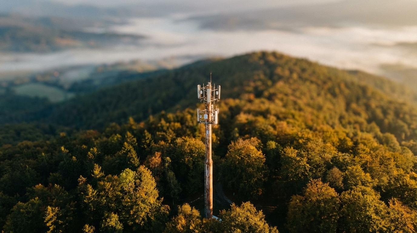
When the handset’s location doesn’t arrive, the center falls back to network-based positioning, which means the carrier measures signal timing and strength from whatever towers can hear your phone and computes the region where those measurements overlap. In a dense city with lots of overlapping cells, that can narrow you down to a few hundred meters. Out in the country, with a single tower in range, the best it can produce is a long wedge of land stretching away from the tower in the direction its antenna faces, and somebody has to search that wedge.
The math behind this works fine as long as there are enough reference points spread out around you. One tower can only tell you roughly how far away you are, and if the only tower in range sits on a ridge across a valley, no amount of signal processing fixes that geometry.
The bell in the dark room
Picture trying to find a ringing bell in a dark room by listening from a few spots along one wall. By comparing when the sound reaches each listener, you can tell roughly which direction the bell is in, and if the listeners are spread far apart you can even sketch a rough X on the floor. Now bunch all the listeners within a meter of each other. Their timing differences shrink almost to nothing, so any small error in measuring them turns into a huge error in how far away the bell seems to be, especially along the line pointing straight out from the group. Engineers call this geometric dilution of precision (it gets shortened to GDOP, and your phone’s satellite receiver deals with it constantly), and it is the same reason a GPS fix gets worse when the visible satellites happen to be bunched in one part of the sky instead of spread across it. A cluster of nearby towers all off to one side of you has the same problem, which is why being “in coverage” says very little about how well the network can place you.
When the handset data is missing, then, your accuracy has more to do with where the carrier happened to build its towers than with anything your phone can do.
Giving the dispatcher something to work with
If the infrastructure can’t always find you, the workaround is to be able to say where you are in a form the dispatcher can type in. Two systems have been built for this, and they make very different choices.
What3words
What3words divides the planet into small squares, about three meters on a side, and gives each square a unique label made of three words. The idea is that ordinary words are much easier to read out over a bad phone line than a long string of decimal coordinates, and the company says it arranged the word list so that similar-sounding combinations land far apart, which means a misheard word usually points somewhere obviously wrong instead of somewhere plausible nearby. A number of emergency services, especially in the UK, now accept what3words addresses from callers, and the app can work out your three words without a data connection.
My problem with it is that the whole thing is proprietary. A private company owns the word list and the conversion, and I’m uneasy about emergency infrastructure depending on a closed format from one vendor, even though I still have the app installed and use it.
Plus codes
Google’s Open Location Code, which shows up in Google Maps as plus codes, turns an area into a short string of letters and numbers that looks a bit like a license plate with a plus sign in it. The encoding is open and the algorithm is public, so anyone can generate or decode one with a small lookup table and some arithmetic, no account or special app required. Longer codes describe smaller areas, so adding characters takes you from roughly a city block down to a particular doorway.
Plus codes are harder to remember than English words. Nobody is going to keep a jumble of letters and digits in their head the way they might remember “filled count soap,” but at least no company can switch the format off or start charging for it.
What I actually keep on my phone
None of it is clever. I have what3words installed, I download Google Maps offline areas before any trip away from cities, I know how to pull up raw coordinates from the compass app on iOS or the equivalent screen on Android, and I keep a card in my wallet with the plus code for my house. That last one came from realizing that if I ever had to describe my own address to a dispatcher on a borrowed phone, under stress, I would probably get the street number wrong.
Not one of those things replaces calling 911 and staying on the line, and the dispatcher will still use whatever location the system hands them. What they give you is something specific to say if that location turns out to be a wedge of forest. If someone on the line asked you right now where you were sitting, could you tell them precisely enough to send help to the right door?