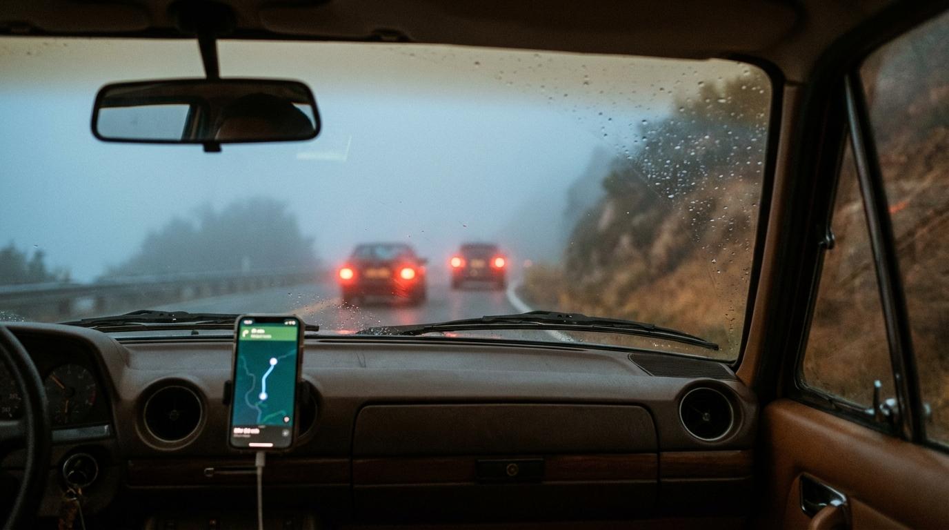
Fourteen phone calls. I counted them on a napkin in the passenger seat while our group drove from Charlotte to Asheville, and that napkin is probably still in a glovebox somewhere.
Most of the calls were short. Someone wanted to know if we were stopping for lunch. Then Sarah called about the exit, and an hour later she called again about a different exit. I was keeping score by then, mostly out of spite.
What bothered me afterwards was who picked up. In two of the cars the driver was alone, so the driver answered.
Sarah took one of those calls while changing lanes on I-40, because she didn’t want to miss the exit.
And she only called because she didn’t know whether we were taking that exit or the next one. We were a quarter mile ahead of her. If our dot had been on a map in front of her, there was nothing to ask.
What the napkin said
Once we got to Asheville I went back through the napkin and sorted the calls. “Where are you” won easily, with exit questions not far behind, and the last couple were nervous check-ins after one car dropped out of sight behind a truck for a while. Every single call was about position or timing, and I could have answered all fourteen by holding up a map, if anyone had been close enough to see it.
What the map does instead
Konvoyage puts everyone in the trip on one map, live. Each person is a dot that moves as they drive, and the member list shows how far away each of them is and, if they’re navigating somewhere, their ETA in minutes. When someone falls behind, you watch the distance grow. If a car pulls over, its dot just stops.
The ETA surprised me most. Seeing the car behind us listed a few minutes after us was enough to stop me reaching for the phone, and I am a person who reaches for the phone.
It also covers the dead zones better than a call does. A phone that loses signal shows up as offline with a “last seen” time, so you know roughly when you lost them instead of ringing a number that goes straight to voicemail.
If your group ever has to regroup quickly in an emergency, having everyone’s position already on the map saves you the round of calls where the first person you try doesn’t pick up.
When a car actually needs to say something
Sometimes one car does need to tell the others something, like the kids are falling apart in the back seat and you need to pull off now.
For that there’s a quick message button. “Wait for me” goes to everyone in the trip with one tap, and a police report puts a POLICE AHEAD banner on the other phones. Nobody has to answer anything. In my car the passenger does the tapping. Solo drivers, keep it to the one tap and save the rest for the next stop.
The same drive, again
I’ve done Charlotte to Asheville a few more times since the napkin, with the app running. The navigation calls basically stopped. My phone still rang, once about dinner and once because somebody wanted to recommend a podcast, which I have not listened to.
The setup is boring. Start the trip in the driveway and don’t let anyone pull out until every car has joined with the code. Phones go on mounts where the drivers can actually see them. After that people mostly check the map instead of dialing, though my cousin still texts “where r u” out of habit.
Last Thanksgiving we drove to my aunt’s place outside Brevard, with my mom riding in my uncle’s car behind us. She calls about everything, and I love her for it. In the dead patches through Pisgah National Forest our dot went offline for a while and I was sure my phone would ring. It didn’t. At my aunt’s she told me she’d watched us the whole way and only got nervous once, in the forest, and then she asked if I’d brought the pie.